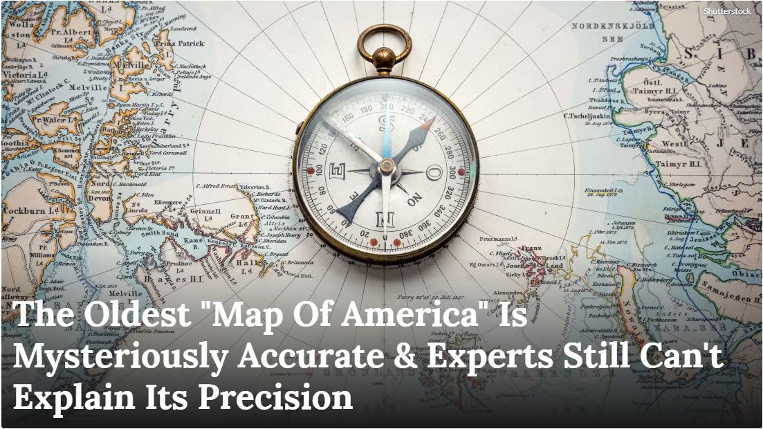
Some of the most mysterious ancient artifacts ever discovered raise many questions about our history, but then again, so do some old maps. Picture this: It’s 1929, and a German theologian named Gustav Adolf Deissmann is having what he probably thought would be just another ordinary day cataloging old documents in Istanbul’s Topkapi Palace, one of the many must-visit spots in Istanbul for spring, from the Bosphorus to the Bazaars.
Instead, he stumbles upon a mysterious piece of gazelle skin parchment that would revolutionize our understanding of medieval cartography – the Piri Reis map. This isn’t just another piece of parchment gathering dust in a museum.
The Piri Reis map represents one of history’s most intriguing cartographic mysteries, combining information from twenty different maps and charts, including some allegedly drawn by Christopher Columbus.
What makes it truly extraordinary is how it manages to depict the coastlines of South America and Africa with remarkable precision at a time when most European maps looked more like creative doodles than accurate geographical representations.
So, how did a 14th-century Turkish admiral develop such remarkably detailed maps? Let’s take a look.
https://www.thetravel.com/oldest-american-map-accuracy-surprises-experts/